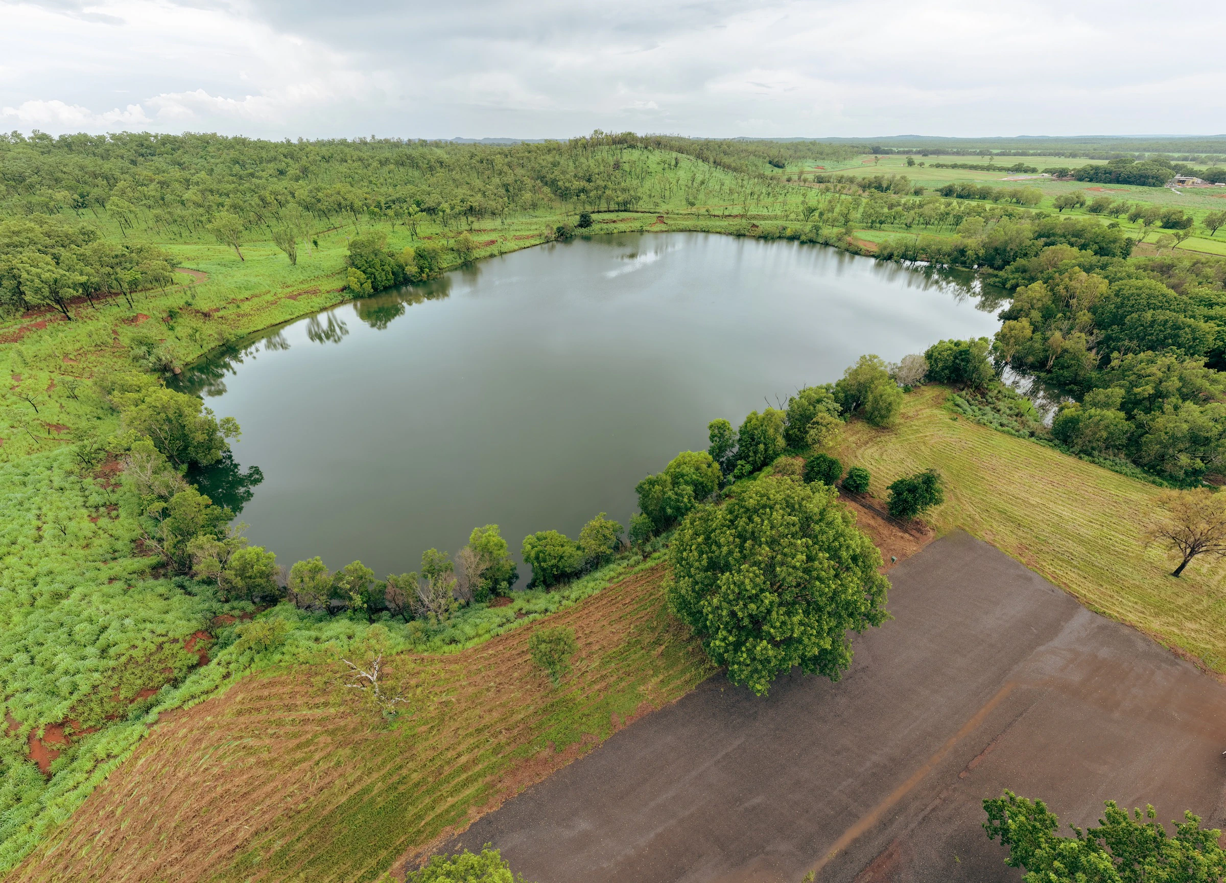
Aerial property photography, Darwin NTConstruction site aerial photographyDrone aerial photography, Top EndAerial landscape photography, Northern Territory

Darwin & Top End Aerial Photographer

Show them the scale they can't see from the ground.

CASA-certified drone photography and video for property, construction, tourism, and brand campaigns, perspectives that stop the scroll and prove what's on the ground.

  • CASA-certified operator
  • 100+ hours logged flight time
  • Fully insured

Why it matters

Some stories only make sense from above.

A property boundary you can't capture from the street. A construction site your stakeholders can't visit every week. A tourism campaign that needs the Top End sky in the frame. Ground-level photography leaves scale, context, and impact on the table.

Get it wrong and you end up with shaky phone footage or an uncertified operator who creates compliance headaches. Get it right and you have aerial content that sells the listing, updates the board, and gives your marketing team something nobody else in the feed has.

“Wayne has worked on a couple of projects that I've been overlooking and I'm so impressed from start to finish. To have someone who can capture still, videography and drone footage at that level is incredible. He spends time understanding the vision and delivers high quality products in great time. Communication is one of the best I've worked with in Business. Thank you Wayne, looking forward to future projects together.”
Jen·Commercial Drone Shoot
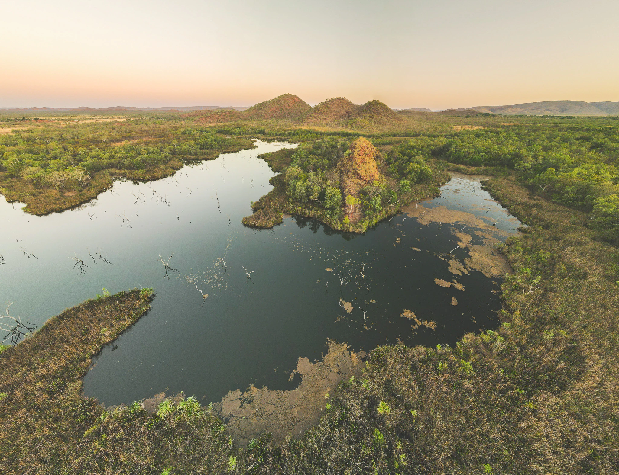
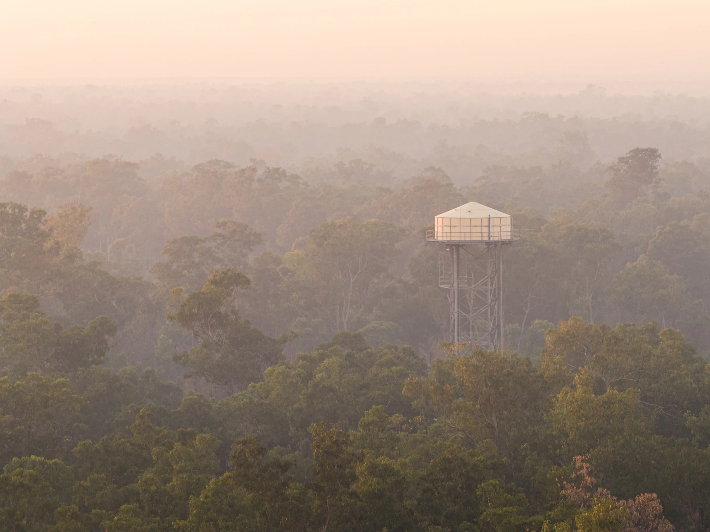
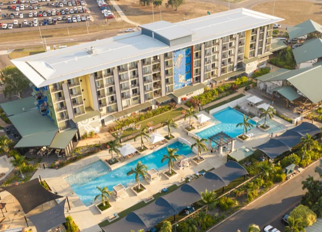
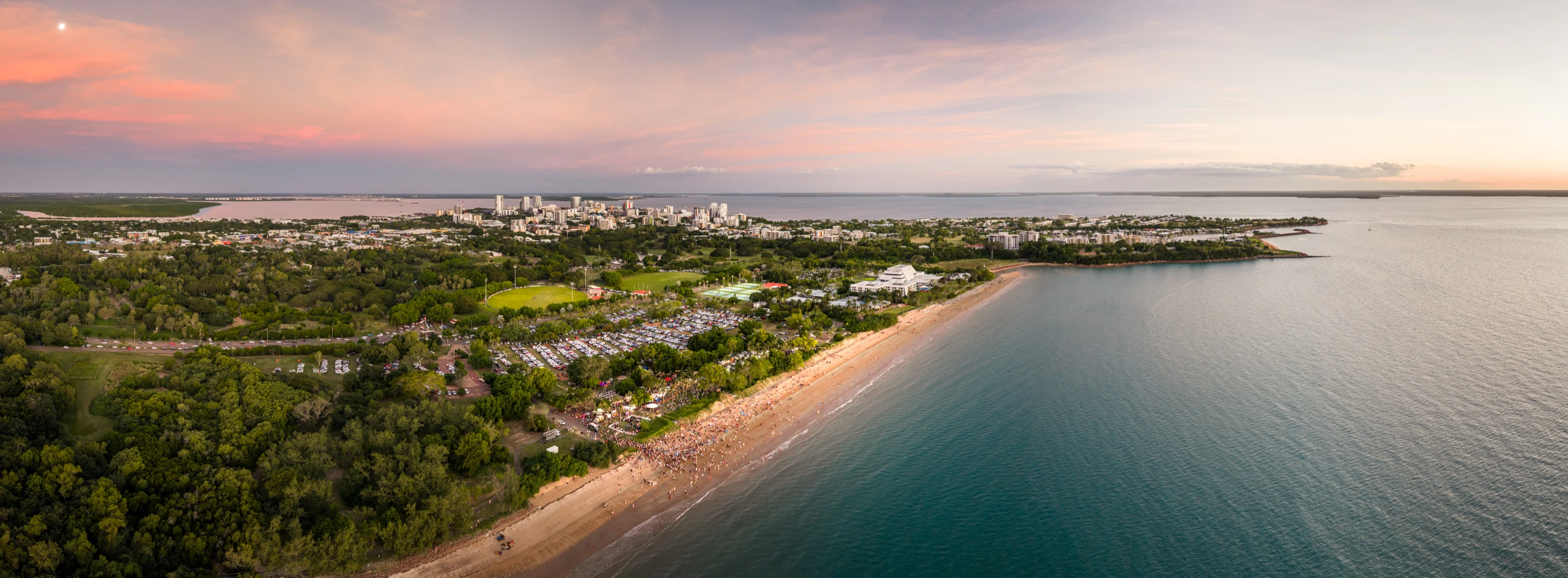
Aerial property photography, Darwin NT

01

Property that sells the location

Buyers want to see more than four walls and a fence line. Aerial photography shows the block, the neighbourhood, the water proximity, and the lifestyle. Context that ground-level shots can't deliver. Edited files sized for REA, Domain, and your agency's marketing.
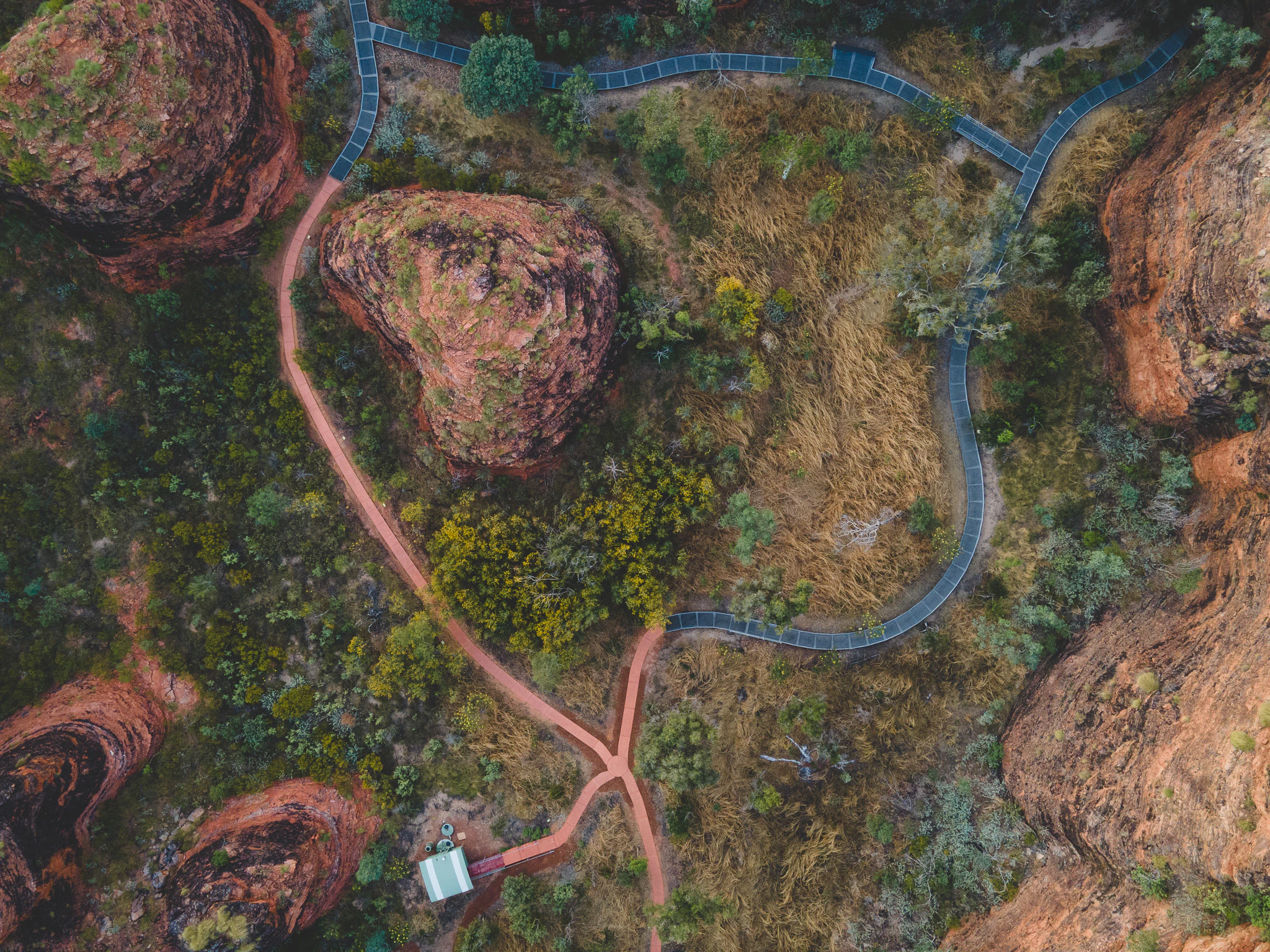
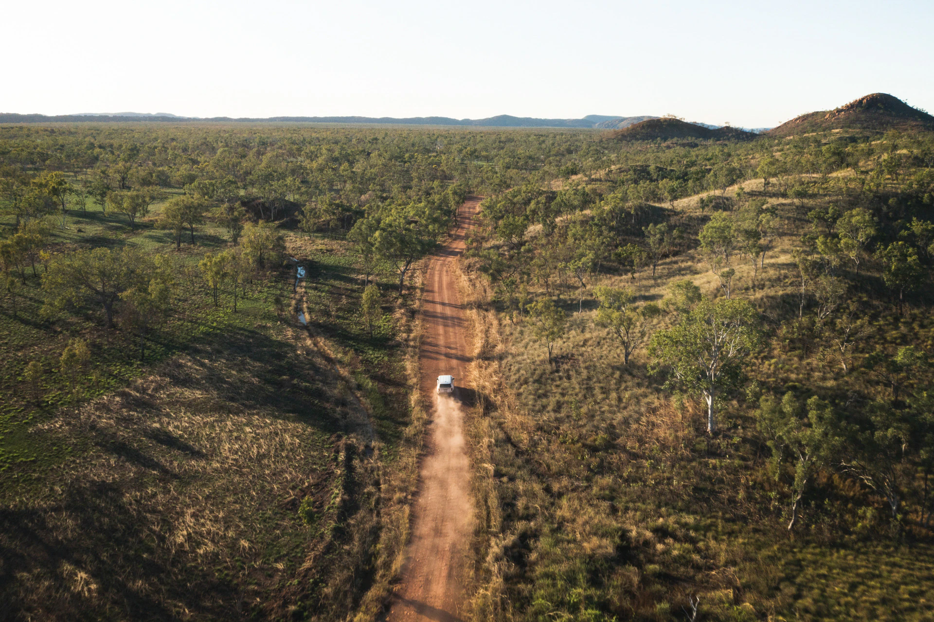
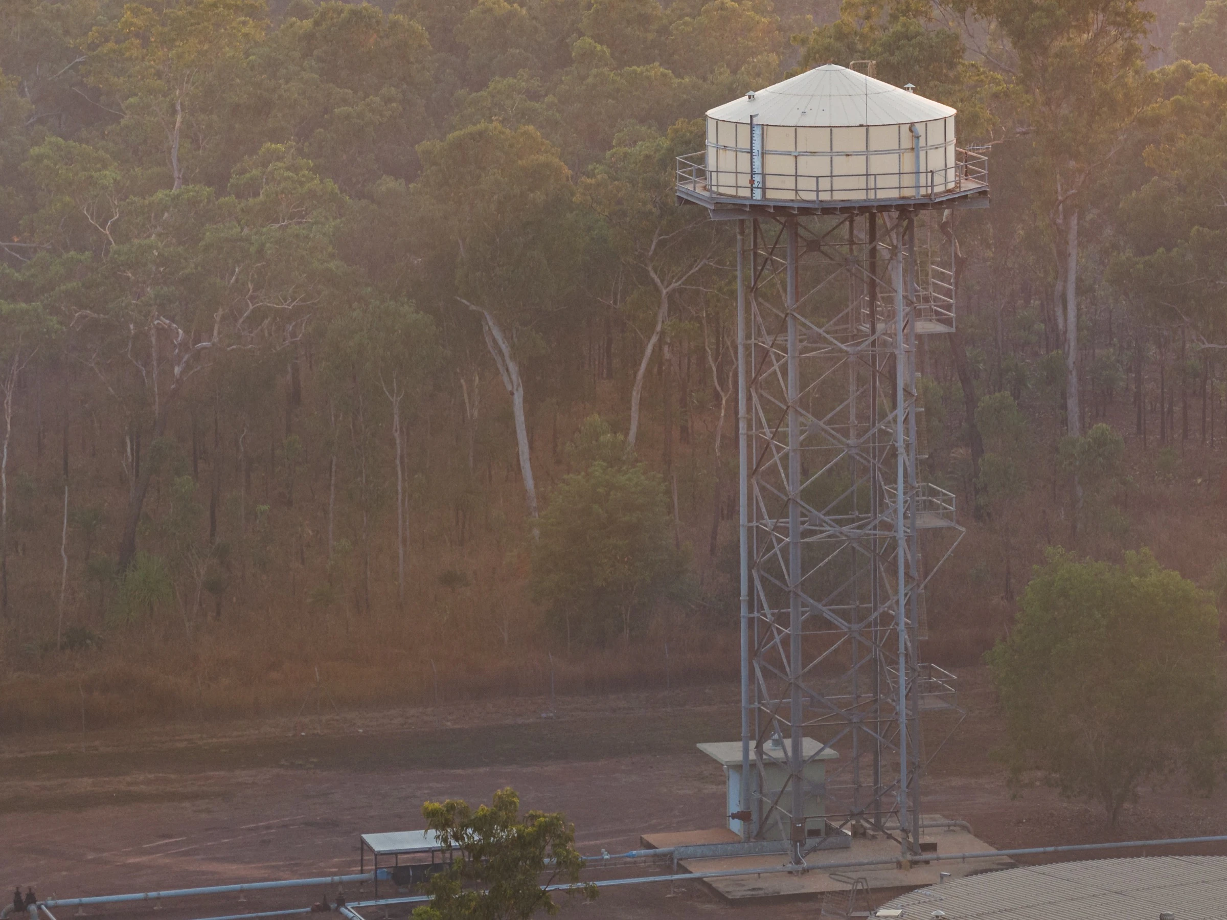
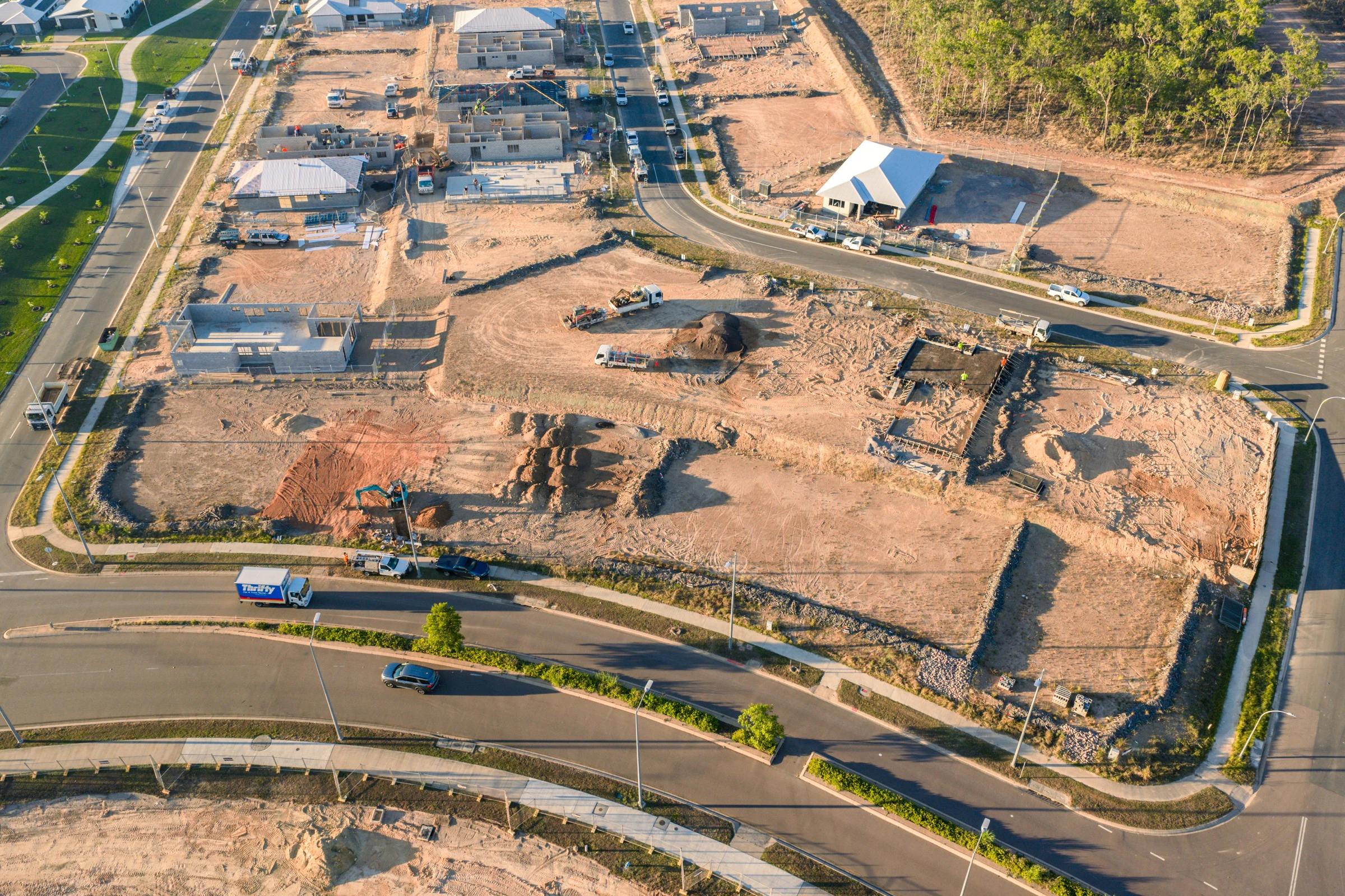
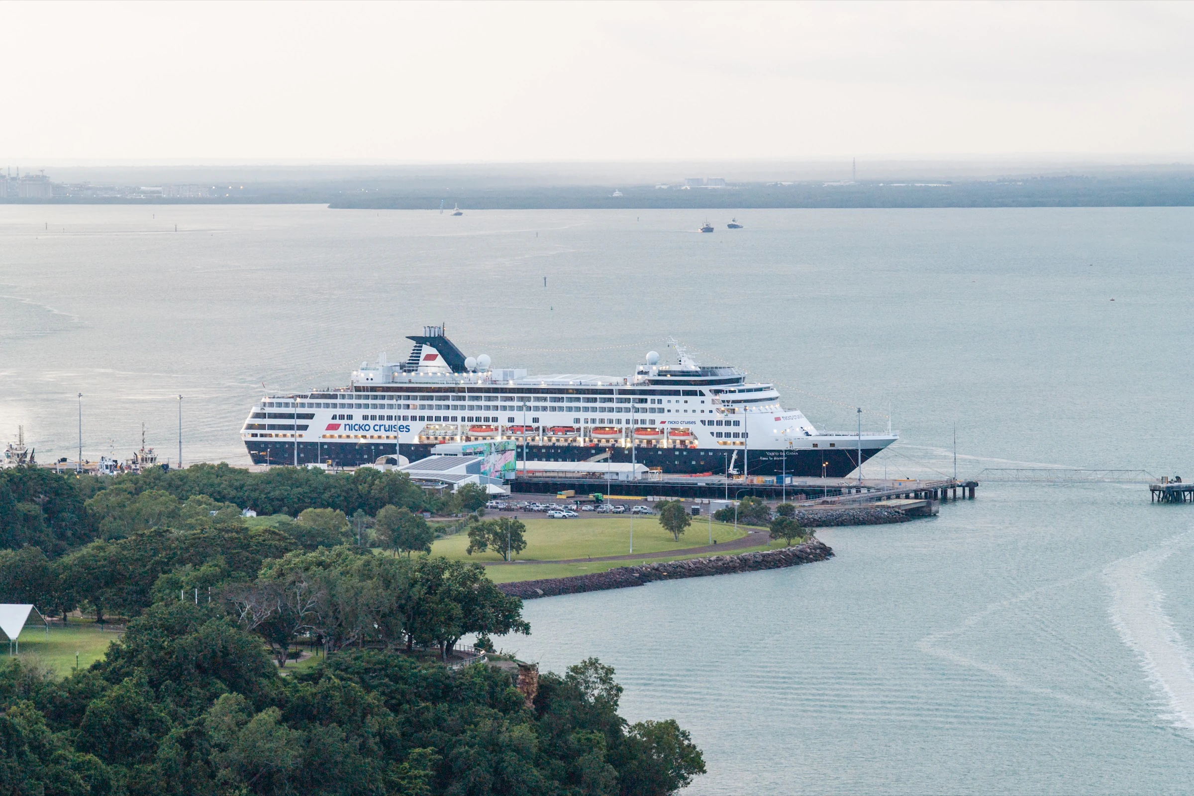
Construction site aerial photography, Northern Territory

02

Site progress, documented

Monthly or milestone aerial captures that give project teams and investors a clear read on progress, without organising site visits for everyone who needs to see what's happening. Consistent angles, dated files, delivered on schedule.

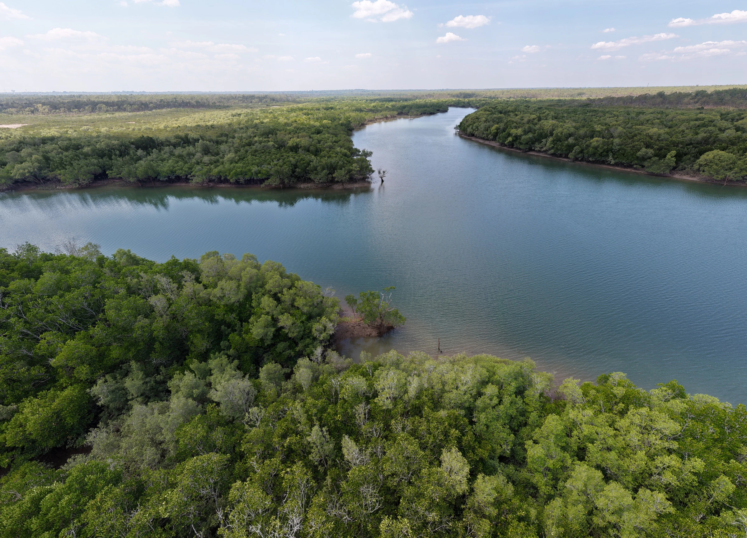
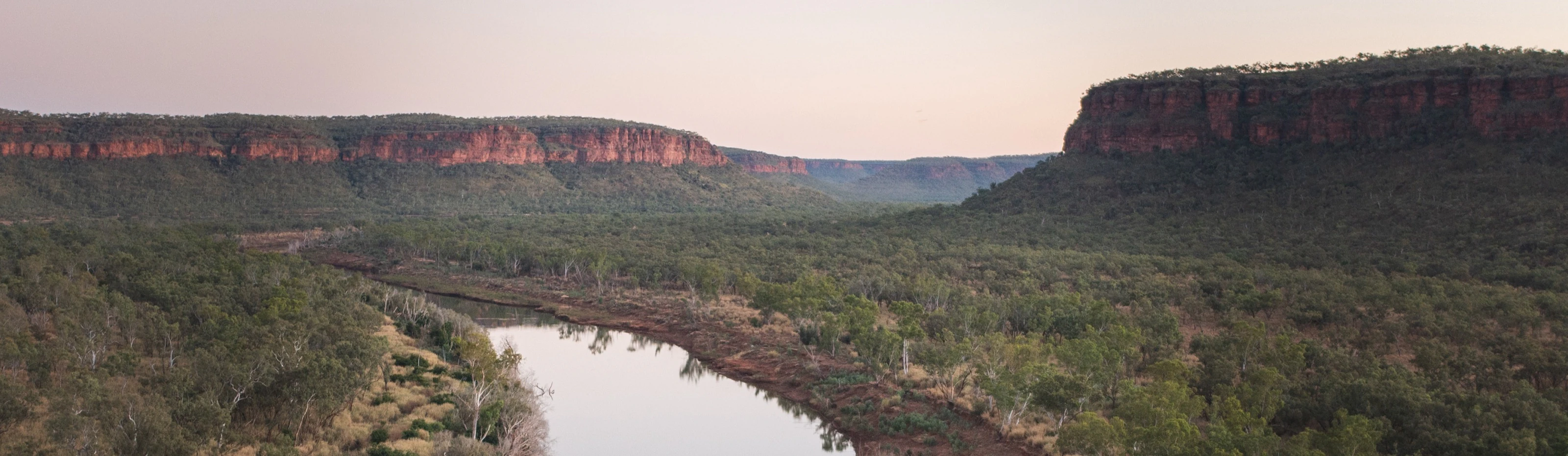
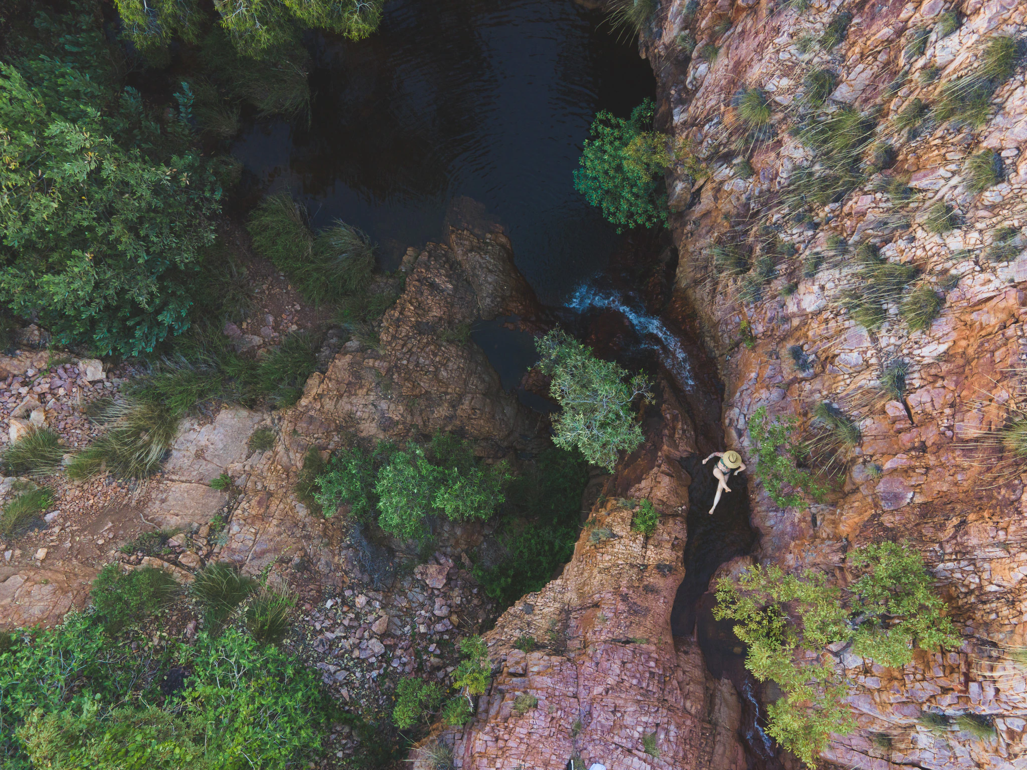
Aerial landscape photography, Northern Territory

03

Tourism & brand from above

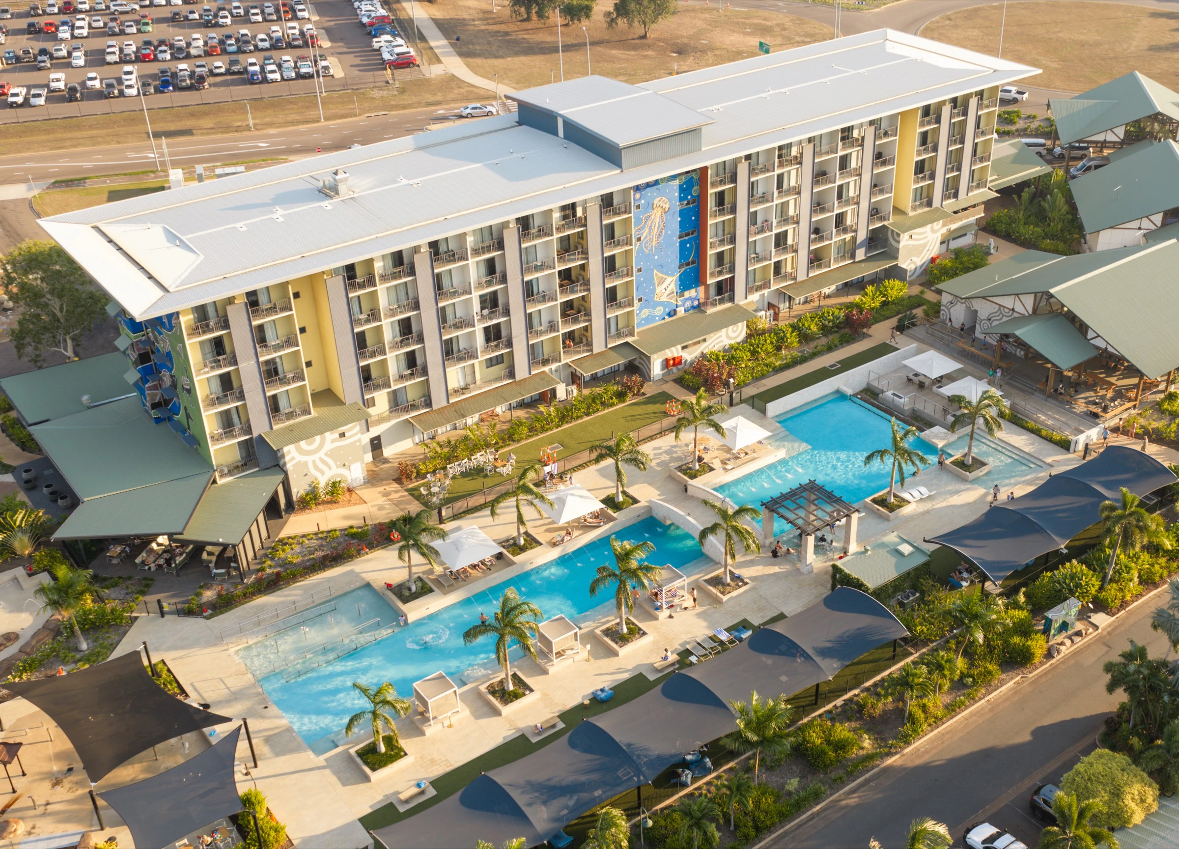
Resorts, attractions, and Territory experiences need scale in the frame, the coastline, the landscape, the setting that makes the product worth travelling for. Aerial content for websites, brochures, and campaigns that actually shows what you're selling.

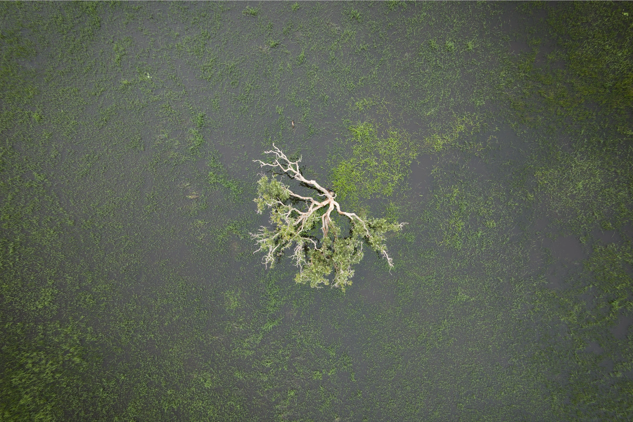
Event aerial photography, Top End

04

Events & large-scale coverage

Festivals, sporting events, and corporate activations from above, crowd scale, venue layout, and sponsor visibility captured in a way ground photographers can't reach. Photo and video options depending on your brief.

How it works

From brief to aerial files, compliance included.

1

We scope it

Location, purpose, and deliverables: photo, video, or both. I check airspace, CASA requirements, and any site-specific restrictions before quoting.

2

I fly it

On-site aerial capture at the agreed time and angle. Weather-dependent. I'll communicate early if conditions need rescheduling.

3

You get files

Edited, high-resolution aerial images and/or video delivered in a private gallery, formatted for your listing platform, report, or marketing channels.

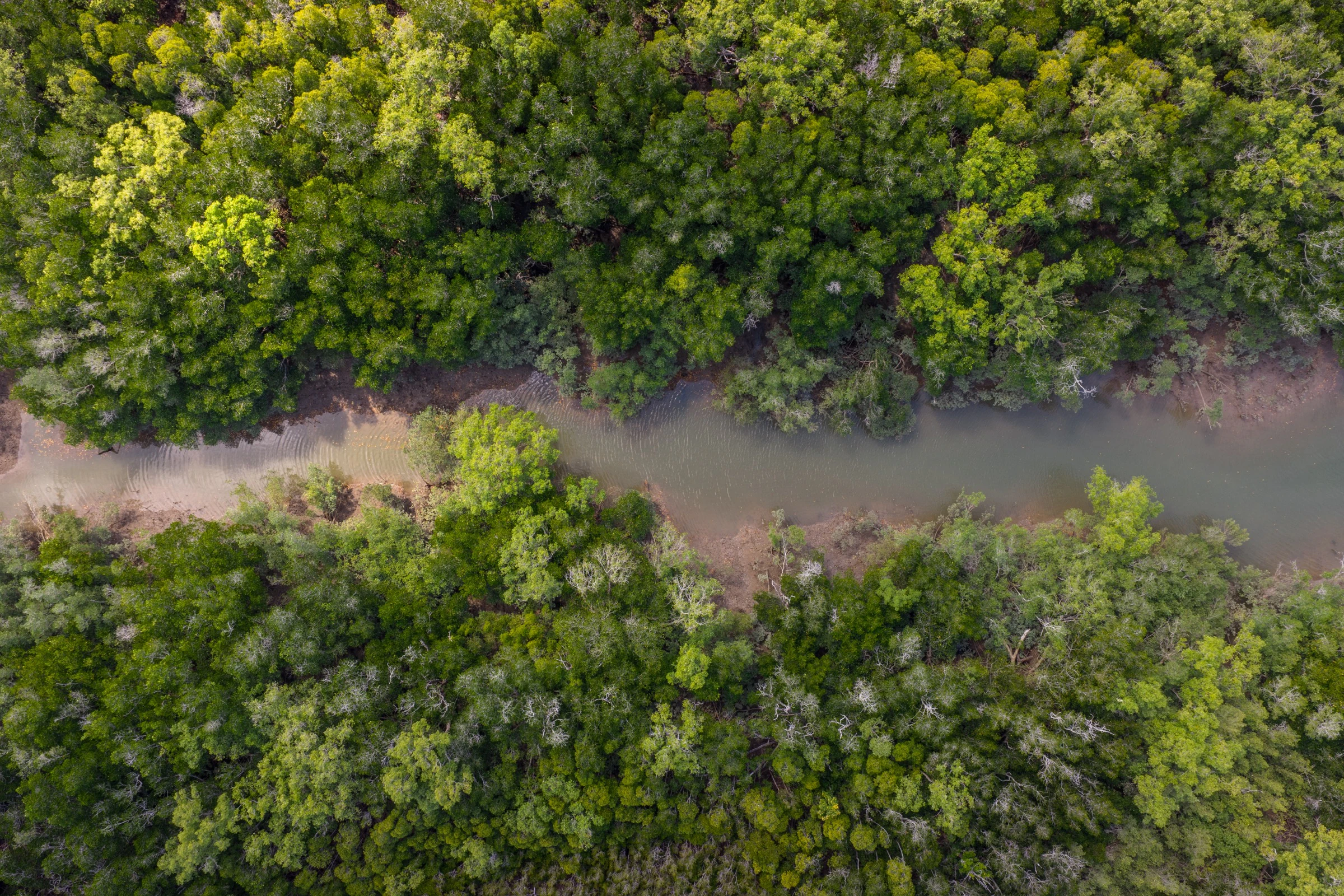
Aerial landscape photography, Northern Territory

What you get

Aerial content built for real business outcomes.

Listings that stop the scroll

Property photography from above that shows boundaries, proximity, and lifestyle context, the kind of hero image that gets a listing opened before a buyer reads the address.

Progress your team can read

Regular aerial captures of construction and infrastructure sites, consistent angles your project managers and stakeholders can compare month to month without visiting in person.

Campaigns with Territory scale

Tourism, hospitality, and brand content with the dramatic perspective only the Top End delivers, edited files ready for web, social, print, and paid advertising.

Packages & pricing

Fixed aerial packages and tailored drone quotes.

Book panoramas, event add-ons, and real estate video at a fixed rate, or get a tailored quote for unique-angle showcase shoots.

Tailored Quote

  • Hourly rate drone shoot
  • Focused on capturing unique angles of a product or place

Fixed Package

  • 1 fully stitched high-resolution 360-degree aerial or ground panorama deliverable

Fixed Package

  • 5 high-res aerial stills and raw video clip add-on
  • Available for existing event bookings

Fixed Package

  • 60-second edited video showcase
  • Licensed music track included
  • Digital delivery
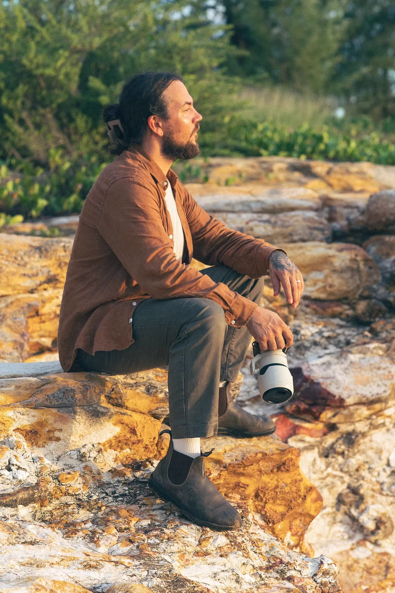
Wayne Maggs, CASA-certified drone operator Darwin

“can't wait to get these printed and hang up on my wall - Erma”

Your operator

I'm Wayne, CASA-certified, and I handle the compliance.

I'm a licensed commercial drone operator based in Darwin, shooting aerial photography and video across the Top End. Real estate, construction, tourism, events. If it needs a perspective from above, I've probably flown it.

You shouldn't have to think about CASA approvals, no-fly zones, or insurance paperwork. I manage the compliance, fly safely, and deliver edited files formatted for your listing, report, or campaign.

Credentials & compliance

Licensed, certified, and insured for commercial aerial work.

Remote Operators Certificate

ReOC holder, authorised for commercial drone operations in Australia under current CASA regulations.

Remote Pilot License

RePL licensed remote pilot for commercial aerial photography and video across the Top End.

Aeronautical Radio Operator Certificate

AROC certified for the radio communications required on approved commercial flight operations.

Public Liability Insurance

Cover up to $20 million on every job, with compliance and airspace checks handled before takeoff.

Questions

What clients ask before they book aerial work.

Yes. I hold a current Remote Pilot Licence (RePL) and operate under the required CASA regulations for commercial drone work. Compliance, insurance, and airspace checks are handled as part of every job, you don't need to manage any of it.

Due to military-controlled airspace in Darwin, some locations are restricted regardless of aircraft weight. As a ReOC holder with specific CASA and RAAF approvals, I am authorised to fly in areas standard operators cannot, including near the airport and defence zones. I check every location prior to quoting and will flag any limitations upfront.

Drone operations are weather-dependent. Wind, rain, and low visibility can require rescheduling. This is not usually an issue during the dry season, but I'll always monitor conditions and communicate early. We'd rather delay a flight than deliver unusable footage.

Yes. Photo-only, video-only, or combined packages depending on your brief. Property listings, progress documentation, and tourism campaigns often benefit from both, scoped when you enquire.

Of course! I can capture both where it makes sense for your brief. It's often a great moment to combine ground camera footage with aerial perspectives of the same event or location, scoped when we discuss your job.

Most aerial galleries are delivered within 5–7 business days. Rush turnaround is available for time-sensitive listings or campaign deadlines, mention your timeline when you enquire.

Yes. Monthly or milestone retainer packages for construction and infrastructure sites are regular work. Consistent angles, scheduled flights, and dated deliverables, quoted as a package upfront.

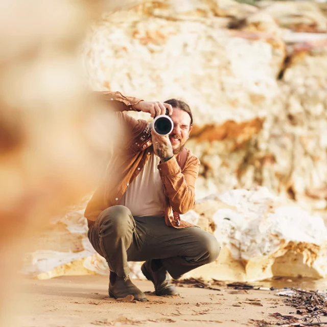
Wayne Maggs, photographer and drone operator

Tell me about your job.

Share your date, brief, or question below. I'll come back with availability and a straight answer, usually within one business day.

Prefer to reach out directly?